Countryside Stewardship: Farming the Past, in the Present, for the Future
- 26th September 2017
Archaeology is not just about getting muddy and digging holes! Worcestershire’s archaeologists undertake a wide variety of tasks that help to conserve, through proactive management, the county’s historic environment. One way in which we do this is by supporting farmers and landowners who are looking to manage and conserve archaeological and historic features through the mechanism of Countryside Stewardship.
What is Countryside Stewardship?
Countryside Stewardship is a Rural Development Programme for England (RDPE) agri environment grant scheme which provides incentives for farmers, woodland owners, foresters and other land managers to look after the environment
Agri environment grant schemes were first introduced over 30 years ago; they are a major source of conservation funding within the European Union (EU). The main priority for Countryside Stewardship is to protect and enhance the natural environment, in particular the diversity of wildlife (biodiversity) and water quality. Other outcomes include: flood management, the historic environment, landscape character, genetic conservation and educational access. The scheme is jointly run by Natural England, Forestry Commission England and the Rural Payments Agency (RPA) on behalf of DEFRA.
This year Worcestershire’s Historic Environment Record and Advisory Service have supported over 180 mid-tier and higher tier applications. Pre application advice is provided via the Selected Heritage Inventory for Natural England (SHINE) website.
What is the Selected Heritage Inventory for Natural England (SHINE)?
SHINE is a single, nationally consistent dataset of undesignated (not listed, scheduled or registered) historic environment features from across England that could benefit from management under Countryside Stewardship. Data is created and maintained by local authority Historic Environment Records (HERs), and fed into a national SHINE dataset.
When assessing the historic environment of a farm we use a wide variety of resources including the county Historic Environment Record, historic maps, aerial photographs, land use maps, LiDAR imagery and Google Street View. Seeing the landscape in the round – understanding how everything fits together is an important element of assessment.
Manageable features include above ground archaeology (e.g. hillforts, ridge and furrow, deserted medieval villages, boundary banks and ditches, moats, ponds, water meadows, quarries) below ground archaeology (e.g. cropmark enclosures), landscape features (e.g. hedgerows, wood pasture/parkland, traditional orchard) and historic buildings and structures (e.g. traditional farm buildings, bridges, military buildings, built water features, dry stone walls).
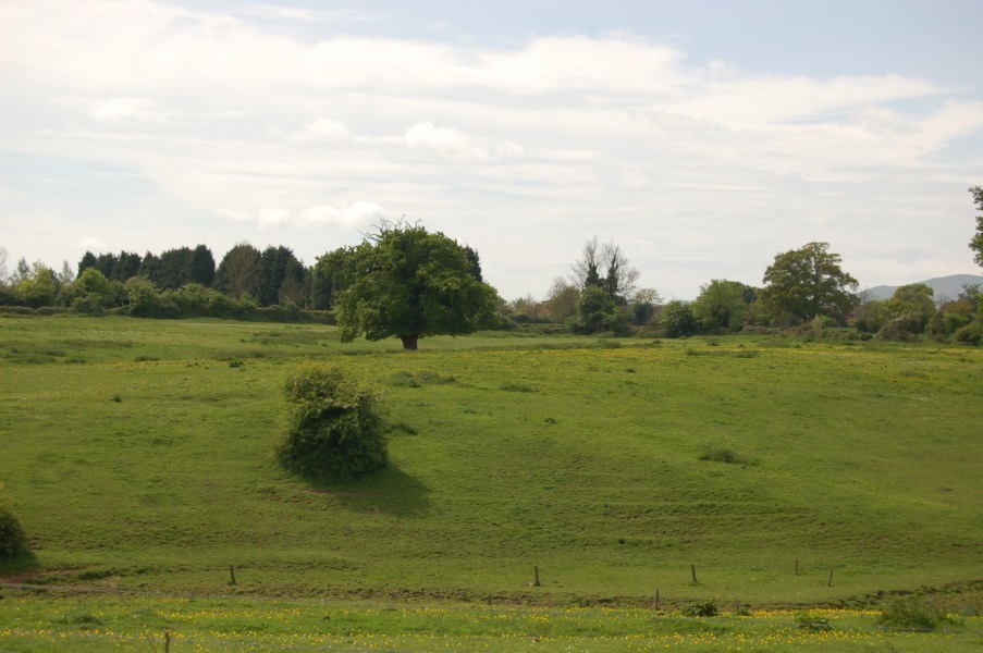
Earthwork ridge and furrow, under permanent pasture can be managed and preserved under Countryside Stewardship. Photograph © Worcestershire Archive and Archaeology Service
Occasionally we are able to visit a farm. We always discover so much more about Worcestershire’s wonderful historic environment when we are able to explore the landscape and engage with farmers and landowners. We also support Countryside Stewardship Facilitation Groups and educational events, including Open Farm Sunday. If you would like to learn more about how we support better understanding and management of Worcestershire’s historic environment and landscape please contact the Historic Environment and Advisory team online or call us on 01905 845618.
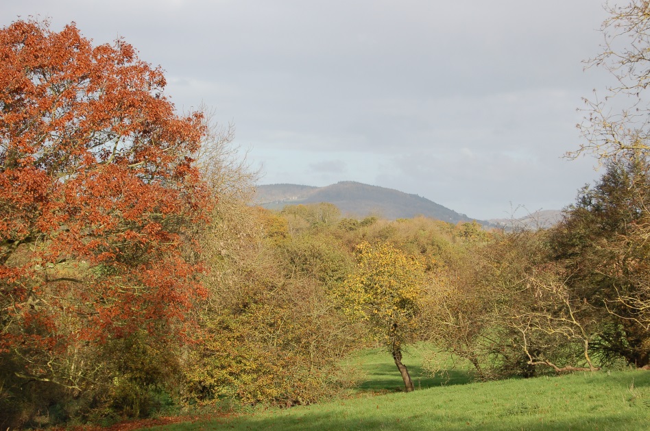
Exploring a parkland landscape in autumn. Photograph © Worcestershire Archive and Archaeology Service

Post a Comment