Online Resources: Map Index
- 28th May 2020
A common question we get asked is ‘Do you have any maps?’. The answer is a resounding yes – tens of thousands of them covering 400 years. How can you find out what maps we have? Most of the maps from the archives are listed on an online searchable index which you can search at home ready for when we can reopen.
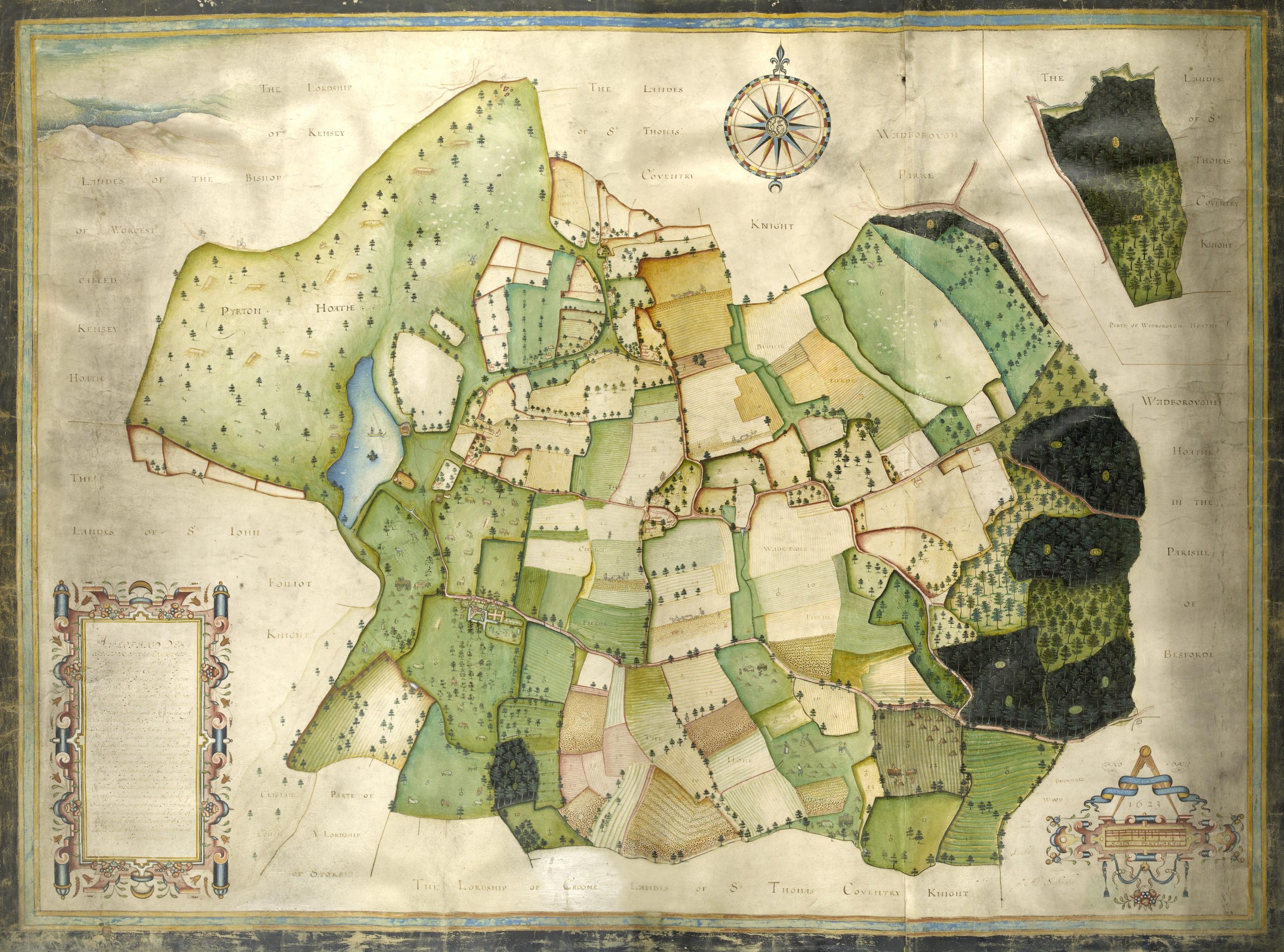
Pirton map 17th century
We love maps. They are a fantastic historic resource, providing lots of information about the past, and in a visual format. Many of these are works of art too, with lots of work gone into making them beautiful as well as practical. You can spend ages looking at them and see something new everytime.
The index was created many years ago, as part of series which were created to help people search particular sources, paid for by a special digitisation fund for heritage. Photos and School Records were also selected and created at the same time.
On our Collections page the map index is listed along with other online resources.
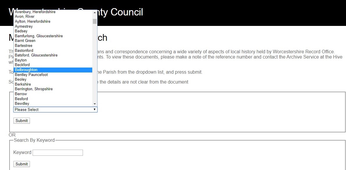
From here you can either search by civil parish, or by keyword. Most people search by parish, going through all the maps in the area to see what might be useful.
Belbroughton selected from the drop down menu
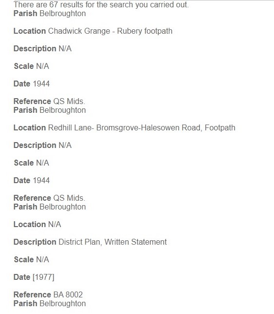
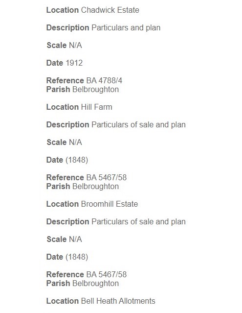
67 maps are listed, included footpath and highways maps, and for farms and estates
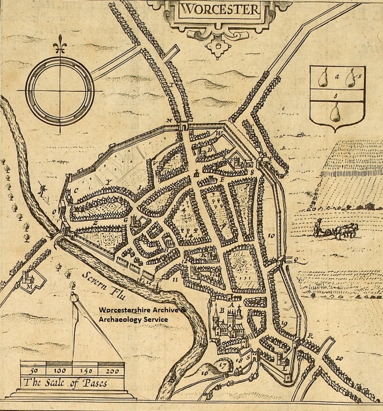
John Speed’s map of Worcester
What maps do we hold?
We have thousands of maps covering the county. Before Ordnance Survey mapping was haphazard, depending on whether someone had paid for a map to be created – maps were very, very expensive to create. So it can be pot luck as to what we have for your area.
Ordnance Survey – from 1880s we have the 6” (1:10,000) and 25” (1:2,500) maps showing the county at great detail.
Tithe – 1840s maps of two-thirds of the county’s parishes, produced to accompany the apportionment with the Tithe system was changed. The details of who owned/rented land, the land name, use and size has been put onto spreadsheets by Worcestershire Historical Society and it now available on CD. The maps have been digitised on CD, making them easier to use and print from.
Enclosure – maps produced late 18th-early 19th century when the old three field system was replaced by enclosed fields and individual farms. Around a third of the parishes are covered, with the maps digitised and available on CD.
Estate – maps produced by landowners as working maps and also to show off their land ownership and wealth. Also in this category are maps produced when estates were sold off, and included with sales catalogues. A few are on CD but most are only available as the original document, in some cases very big!
Others – maps may have been created for all sorts of reasons: public utilities such as sewers, government boundaries, public health, footpaths, roads, geology.
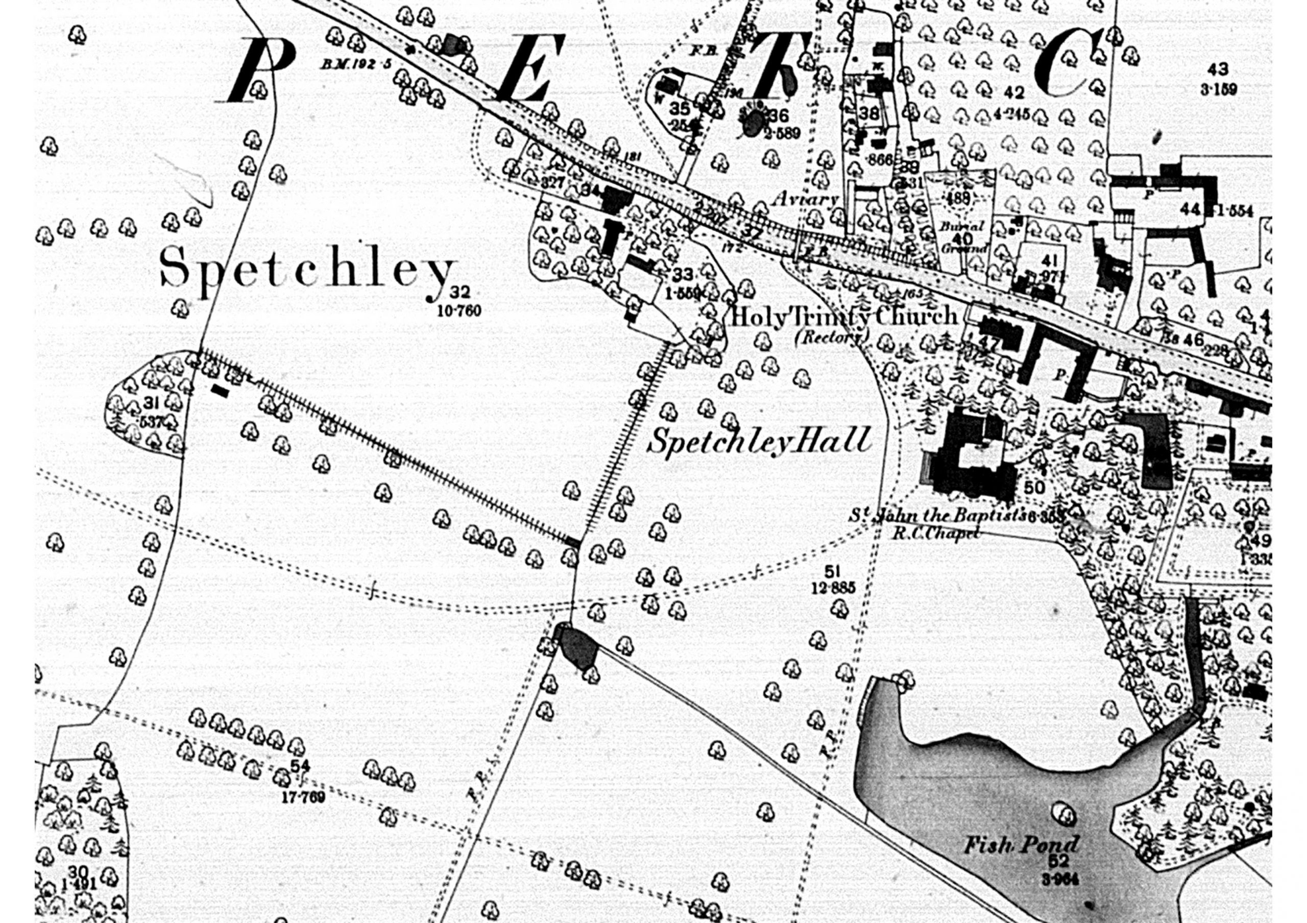
Ordnance Survey map
Other places to look:
Archive Catalogue – our online catalogue is constantly being added to, and the latest maps will be on here.
Tithe Map GIS Website – some of the Tithe (and Enclosure and Estate) maps were digitised with the land details added. It was our online resource of the week earlier.
Historic Environment Record – As part of the huge amount of information we hold on this archaeological database are the first few editions of Ordnance Survey maps, plus aerial photos and LiDAR.
Worcester City Historic Environment Record – they have digital OS maps and other maps for Worcester City.
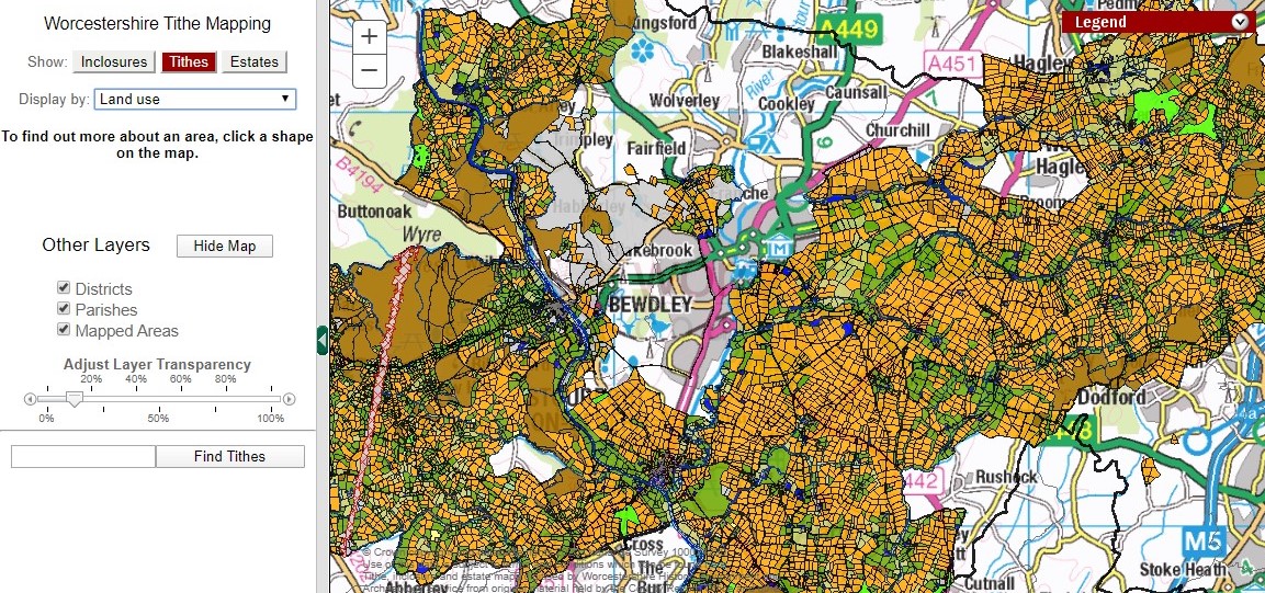
Screen short of Tithe Map GIS website
So have a search of the index and see what you can find, before coming to view the maps when we can reopen.
And for a family activity why not have a go at creating your own map? We recently put up a blog about creating a Scrap Map.

Post a Comment