Family Activity – House History
- 3rd June 2020
Whilst you are spending time at home, why not investigate your house?
- What can you find out about it and people who may have lived there before?
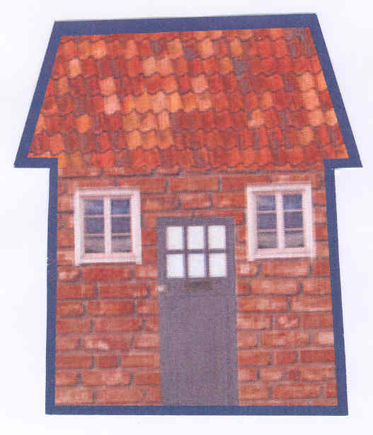
- Can you draw a picture of it?
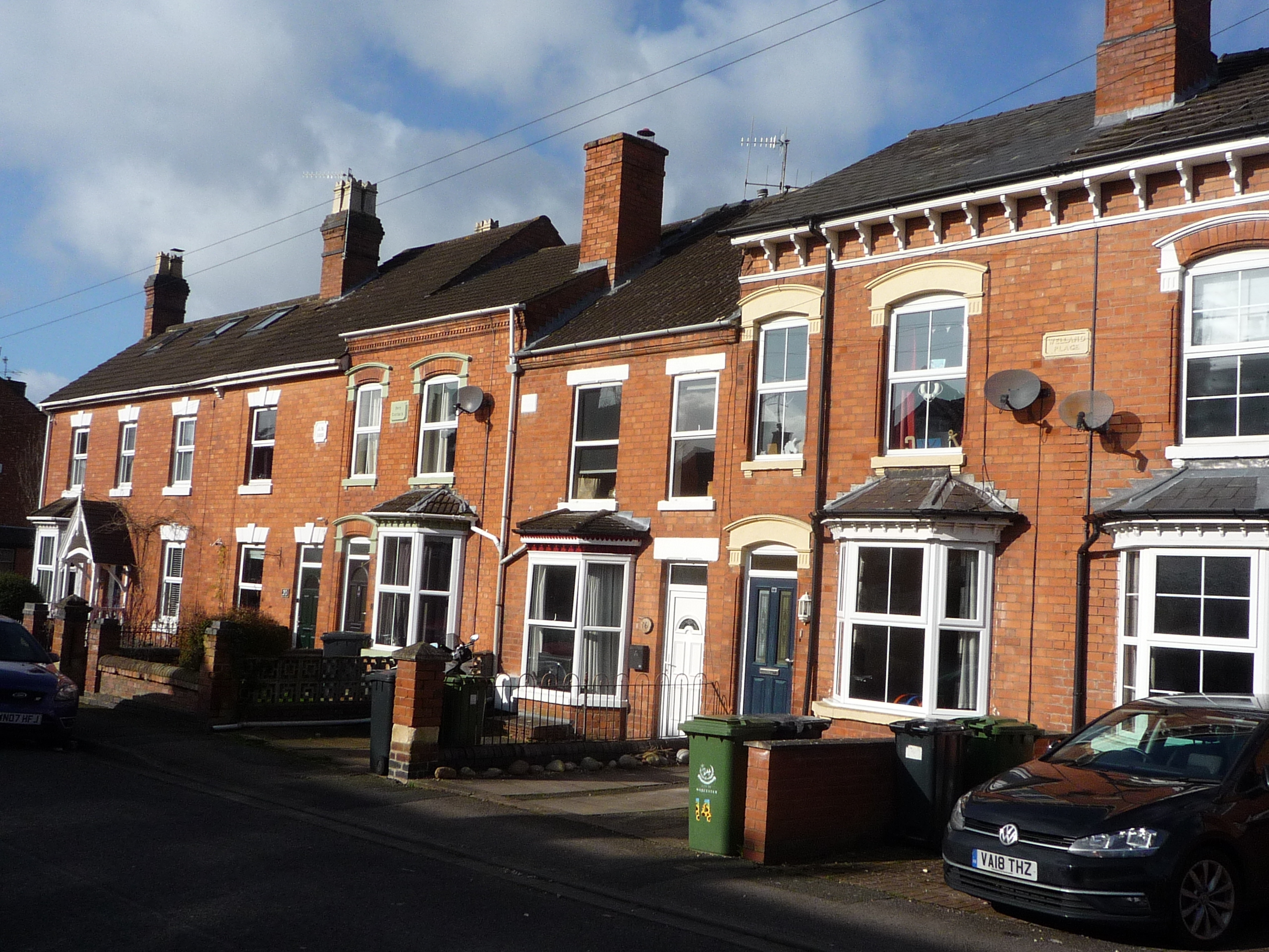
We know some children have been looking at their house, either as part of work set by school or as a fun activity. Everyone’s home is different – age of house, what it looks like, size, house or flat, what it might have been used for in the past. Some of what we say may not apply to your house.
Starting Point
What do you know? Have a look around, are there any clues to see? There might be a date somewhere on the front, or a house name. Is it similar or different to houses around? Does it look like it was built all at one or are there different parts? Look at the shape of the house and the boundary of the garden – is it a normal shape or is it off, which might means it had to fit in with something next to it.
Does anyone else know about your house? Ask your family, was anything said when they moved in about the age of it, who lived in it or any other information?
Deeds – Sometimes the adults might have deeds, which are documents about ownership. Although these might be kept elsewhere for safe keeping. If you have them they might say when it was built, and any names they might have had before.
You could ask neighbours if you see them, with the help of an adult, as long as you stay at least 2 metres away. Have they been here longer and remember anything?
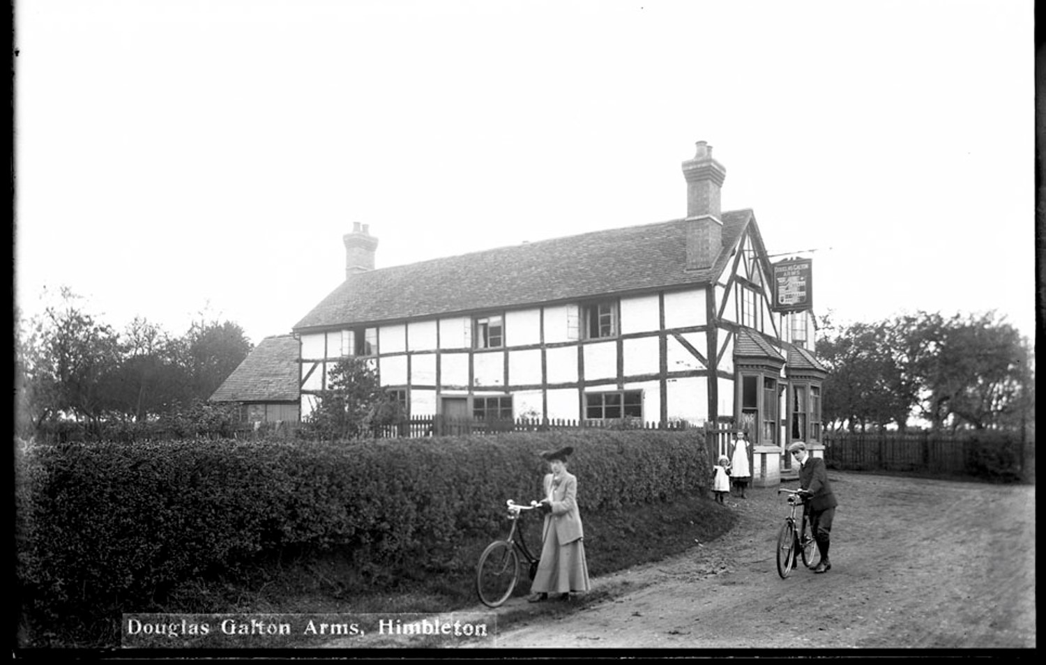
Draw and photograph your house – this is a good to record it, and drawing helps you notice details.
Draw a plan (birds eye view) – if you have a long tape measure you could measure it. What shape is it?
Maps
Maps are fantastic and give lots of fascinating information. Old maps show what somewhere was like. If your house was built at the time you may see the shape of it, and what was around. There may be a house or some other information. If your house isn’t on there this might help you date it, and you can see what was there before. There could be something which gave its name to a local street.
Can you find hour house or where it would be, on an old map?
Ordnance Survey maps
These maps, which have lots of details and very accurate, began in the 1880s. There are a couple of websites where you can see old maps.
National Library of Scotland – Yes, it’s National library of Scotland but covers Britain including Worcestershire.
Another useful website is ArchiMaps. Be careful as there are other information sources as well as maps, and there are passworded parts, but you can find some old maps on here by entering your postcode.
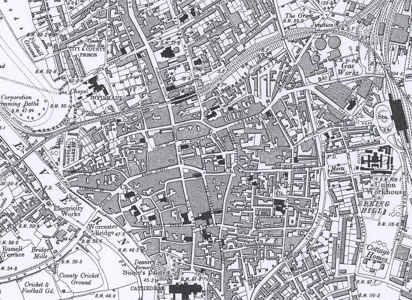
1:10,000 map of Worcester City centre 1928
You can see maps at a scale of 1:10,000, or 6 inches to the mile. They usually show individual houses so are very useful for seeing a house.
More detailed maps are kept in the archives and by the Historic Environment Record (archaeology database) but it is hard to access whilst we are working from home. You could look these up at a later date.
Older maps – Some older Worcestershire maps, Tithe and Enclosure Maps, have had the information about owners/occupiers/name digitised at https://gis.worcestershire.gov.uk/website/tithesmapping/. Not everywhere in the county is covered. If it is your house is over 150 years old you may be able to find out the owner/occupier, or who owned/occupied before it was built if newer.
Census
Who lived in your house in the past?
One way to find out is the census – this is a survey taken every 10 years (the last one was 2011 – ask adults if they remember it). It is available 1841-1911, so if your house is more recent it won’t be listed.
There was also a similar list created 1939 at the start of the war, The 1939 Register.
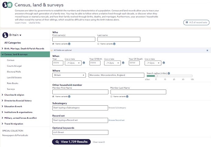
Both are on a website called Find My Past, Normally you need to come to The Hive to search but for the moment you can search at home. Email explorethepast@worcestershire.gov.uk for details on how to get access.
Under the Census option put the place name name into Where, and the street name into Keyword. Here we’re searching for Lich Street, Worcester for our example. However it’s not perfect and depends on what people wrote at the time. You will have to click on a name and then go up and down the road depending on which houses you land on. In villages it can be harder to identify a property.
Directories
These were a form of Yellow Pages, listing trades people, and descriptions of town/villages, which ran from around 170-70 years ago. Lots of people are mentioned, so your house may be included. For Worcester and a few big towns there might be lists of head of household in each house in their town directory.
We have a big collection in The Hive but there are a few Worcestershire ones on Ancestry and Find My Past
Historic Environment Record
The HER database is the County of Worcestershire’s primary resource for archaeological and historic environment information (excluding Worcester City – please see below). We hold approximately 83,000 records including archaeological sites, historic buildings, monuments, and landscape features. The HER can help you to research:
- Your area, whether that’s a village, a particular building, or parish
- A particular period of interest, including Roman, Medieval, and World War II
- Industries such as lime kilns, carpet factories, and needle manufacturing
- Historic artefacts, such as coins, pottery, plant, and animal remains
Parts of the HER database are available to search online through the Heritage Gateway. To access the full database contact us for information.
Interesting features
Our colleagues created this booklet to help people survey houses. It is aimed at adults, but there is a lot of information about what to look for towards the end. Have a browse and see if you can recognise anything on your house. Building Guide
Other tips
http://www.tracemyhouse.com/ is a useful website with information
If you house is in Worcester then contact Sheena at Worcester City’s Historic Environment Record. They have lots of information about Worcester, including digitised building plans which are held in our archives. They also have photos and maps and other information.
Email archaeology@worcester.gov.uk

When The Hive reopens you can come in to find out a lot more information on
- Maps
- Trade Directories (if in Worcester there are Littlebury’s Directories which list head of household for every property)
- Photos (text index can be searched here)
- Archives (including sales catalogues – part of the index can be searched here)
Details about visiting us can be found here.

Post a Comment